Bridleways are marked on the Ordnance Survey Map but these are sometimes inaccurate or out of date. If you are in any doubt, check with the Definitive Map. These are held by the Clerk to the Parish Council for each parish and any parishioner can ask to see them. The whole set of Definitive Maps for the District are held at the Council Offices, Brympton Way, Yeovil; and also at the Rights of Way Deptartment at County Hall, Taunton.
Discover the names of the farmers over whose land you ride regularly, so that you can greet them with a ‘Good Morning Mr/Mrs Whatever-name”. Courtesy and good public relations will benefit us all.
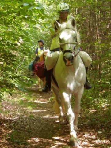
It is very important to keep exactly to the Bridleway, shutting all gates that you find shut and passing all livestock, of any sort, at a walk so as to disturb them as little as possible. PLEASE impress these simple rules on all children, friends and any other users with whom you come into contact.